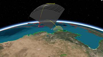
Algeria's first communications satellite.
Surveillance.
"Imagery for?agricultural and resource monitoring, disaster management, land use mapping and urban planning,"
"The system will enable Algeria to obtain very high quality images for use in a wide variety of applications: cartography, management of agriculture, forestry, water, mineral and oil resources, crop protection, management of natural disasters and land planning."

.png)