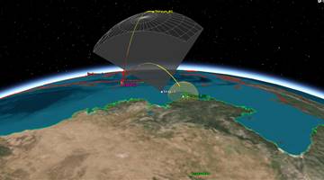
Optical imaging
"Designed for land imaging, and can be used for geological monitoring, tracking earthquakes, landslides, and other changes in land surfaces."
"Earth observation satellite equipped with a large, high resolution, Synthetic Aperture Radar. All-weather imaging."


.png)