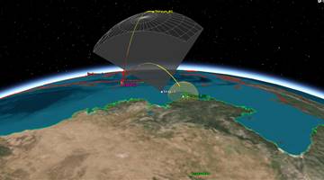
"Provide an array of 24 microsatellites in LEO, designed to perform Global Navigation Satellite System (GNSS) radio occultation measurements."
Demonstrate radio occultation observations for a commercial customer
"Resource mapping, urban planning, transportation studies, water monitoring, and crop inventories."
Create a high-resolution Earth-imaging system by combining a Cassegrain telescope with a conventional Canon image sensor found in the firm?s EOS product line.
Agricultural monitoring.
"Will record high-resolution video from orbit, and future spacecraft in the Zhuhai 1 fleet will collect hyperspectral and radar imagery"
"Will record high-resolution video from orbit, and future spacecraft in the Zhuhai 1 fleet will collect hyperspectral and radar imagery"
Third satellite in the Aleph-1 Earth Observation Satellite Constellation operated by Satellogic to collect multi-band imagery of Earth for the commercial market.
"Resource mapping, urban planning, transportation studies, water monitoring, and crop inventories."
High resolution earth-imaging. First commercial satellite for earth observation in China.


.png)
