HY 1 (Haiyang = Ocean) is the first operational
remote sensing satellite based on the CAST968 bus. The 365 kg box-shaped satellite is
three-axis-stabilized and Earth-oriented, with the twin solar wings oriented to the sun.
It incorporates an integrated on-board operation management system and has a design life
of two years. Its payloads include a 10-band ocean color scanner with a revisit period of
3 days and a 4-band CCD imager with a revisit period of 7 days.
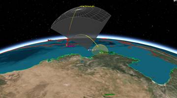
HY-1 can provide real-time observations of China's coastal regions such as the Bohai
Sea, the Huanghai Sea, the Donghai Sea, the Naihai Sea and other seacoast regions. Remote
sensing data on the rest of the world can be stored in the onboard data storage device for
delayed replay.
The main task of HY-1 is to observe sea optical characteristics, chlorophyll
concentration, surface temperature, suspended silt charge, soluble organic matter and
pollution. It can also be used to observe sea ice, shallow sea terrain, ocean current
characteristics and atmospheric aerosol on the sea surface.
- COCTS (Chinese Ocean Color and Temperature Scanner):
COCTS is a medium-resolution optical imager developed by SITP (Shanghai Institute of Technical Physics) of CAS (China Academy of Sciences), China. The objective is global ocean color monitoring for the study of biological oceanography, including chlorophyll concentration, suspended sediment concentration, dissolved organic matter, pollutants, as well as sea surface temperature. COCTS consists of the following subsystems: optics, scanner, FPA (Focal Plane Array) and an electronics box. Imagery is provided in 8 VNIR (Visible Near Infrared) and in two TIR (Thermal Infrared) bands with a spatial resolution of 1.1 km. The swath width is 1400 km. The instrument data rate is 0.67 Mbit/s.
- CZI (Coastal Zone Imager):
CZI is a multispectral pushbroom CCD instrument developed by the Beijing Institute of Space Machines and Electricity, a facility of CAST. The objective is to provide in particular imagery of coastal regions (estuaries, tidal waters, monitoring of pollution, etc.). CZI has a repeat period of 7 days.
Note: the instrument is also referred to as the "4-band CCD Imager."
HY-1A had been launched by a CZ-4B
launch vehicle from Taiyuan Satellite Launch Center on 15 May 2002. An improved HY-1B
followed in 2007 on a dedicated CZ-2C (3)
launch vehicle.
Two improved satellites, HY 1C and HY 1D feature an improved coastal scanner with a resolution of 50 m and two new instruments - an ultraviolet imager and a calibration spectrometer. Additionally they carry an AIS system for ship tracking.


.png)