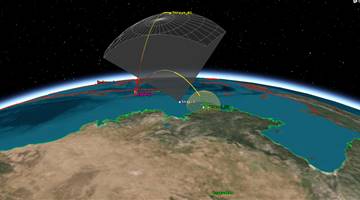
Official name HAIYANG 2B
Alternative name Hai Yang 2B
Cospar ID 2018-081A
Norad ID 43655
Launch date 2018-10-24
Launch site TSC
Launch vehicle CZ-4B
Country/Organization China
Type application Oceanography
Operator CAST
RCS size LARGE
Decay date ON ORBIT
Period (min) 104.4
Inclination (deg) 99.34
Perigee (km) 965
Apogee (km) 968
Eccentricity 0.00155199172271081
Mean motion (revs. per day) 13.7931034482759
Semi-Major axis (km) 7344.635
Raan (deg) 134.2949
Arg of perigee (deg) 131.2954
Shape Box + 2 Pan
Mass (kg) 1500
Height (m) 1
Width (m) 1
Depth (m) 1
Span (m^2) 4
Equipment dual-frequency altimeter (Ku and C-bands), scatterometer, microwave imager
Power Deployable solar array, batteries

HY 2 (Haiyang = Ocean) is a chinese series of Earth observation satellites focused on the marine dynamic environment.

The objective of the HY-2 satellites is to monitor the dynamic ocean environment with microwave sensors to detect sea surface wind field, sea surface height and sea surface temperature. The instrument suit consists of an altimeter (dual-frequency in Ku and C-bands), a scatterometer and a microwave imager.

HY 2A was launched by a CZ-4B launch vehicle from Taiyuan Satellite Launch Center in August 2011.

HY 2B followed on 24 October 2018 again on a CZ-4B launch vehicle from Taiyuan Satellite Launch Center.

Satellite COSPAR Date LS Launch Vehicle Remarks
HAIYANG 2A 2011-043A 2011-08-15 TSC CZ-4B
HAIYANG 2B 2018-081A 2018-10-24 TSC CZ-4B with Tangguo Guan