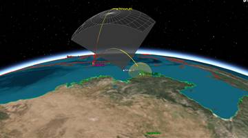
Algeria's first communications satellite.
"Imagery for?agricultural and resource monitoring, disaster management, land use mapping and urban planning,"
"The system will enable Algeria to obtain very high quality images for use in a wide variety of applications: cartography, management of agriculture, forestry, water, mineral and oil resources, crop protection, management of natural disasters and land planning."
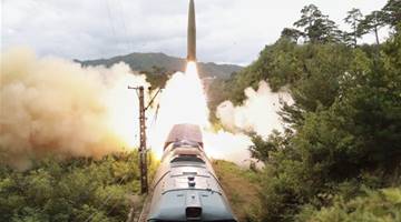
Surveillance.


.png)